
Features
What the app does
GenAv CoPilot is organised like a flight: your aircraft, then the plan, then the flight itself, then the logbook. Each part has its own page, with how it works and a step-by-step guide.
A planning and situational-awareness aid. Check every figure against your aircraft's POH, the AIP and your own records. You remain responsible for the flight.
Aircraft
Your aircraft, from its POH.
- Loading figures and arms
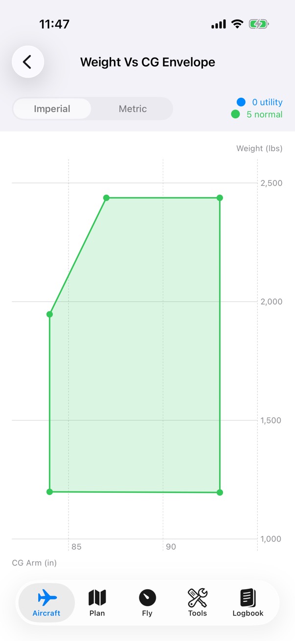
- The CG envelope, from a photo of the chart
- Performance charts you trace
- Checklists, and sharing the aircraft
Plan
Routes, fuel, Weight & Balance and performance.
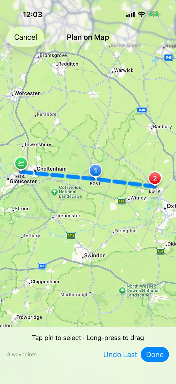
- Plan on the map
- Headings, ground speeds and times
- The fuel plan
- Before You Fly and the pilot log
Fly
Record the flight, planned or not.
- Take-offs and landings from GPS speed
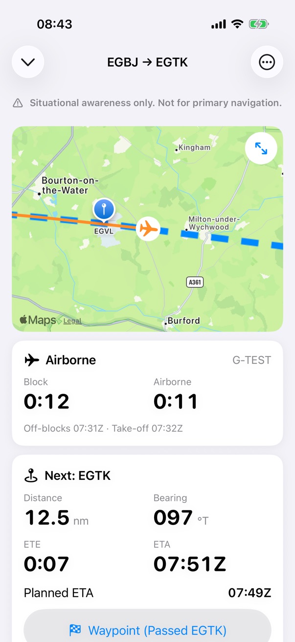
- The next waypoint and its ETA
- The moving map
- A GPS card that marks held and estimated values
Tools
Nine flight tools, each with a guide.
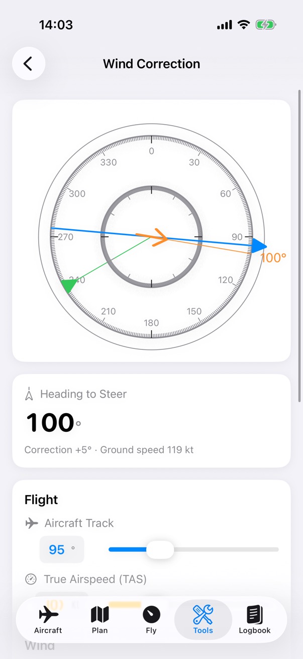
- Wind correction and crosswind
- The 1 in 60 rule
- Airspeed, altitude and cloud base
- Units, compass heading and a calculator
Logbook
Flights, totals and currency.
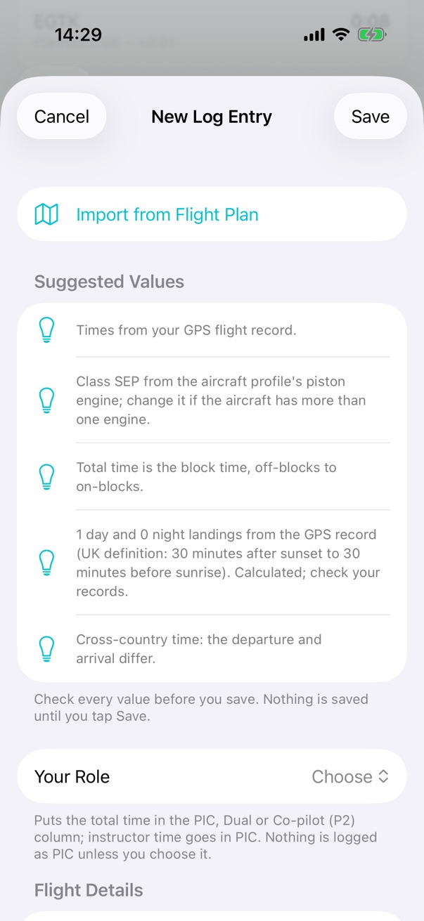
- From the flight to the logbook
- Night time by the UK definition
- Currency, and rules of your own
- CSV import and export
Apple Watch
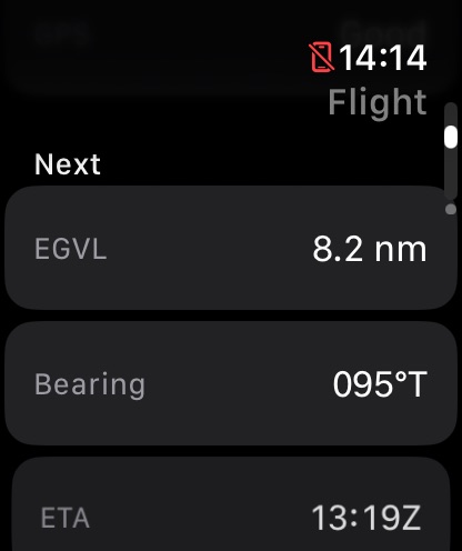
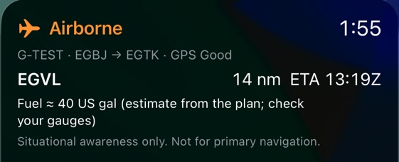
The flight and your checklists, on your wrist.
- The flight's status
- Checklists
- A fuel tank reminder
- A GPS tracker of its own
Your data
On your devices, and in your own iCloud.
- Where it is kept
- When your location is used
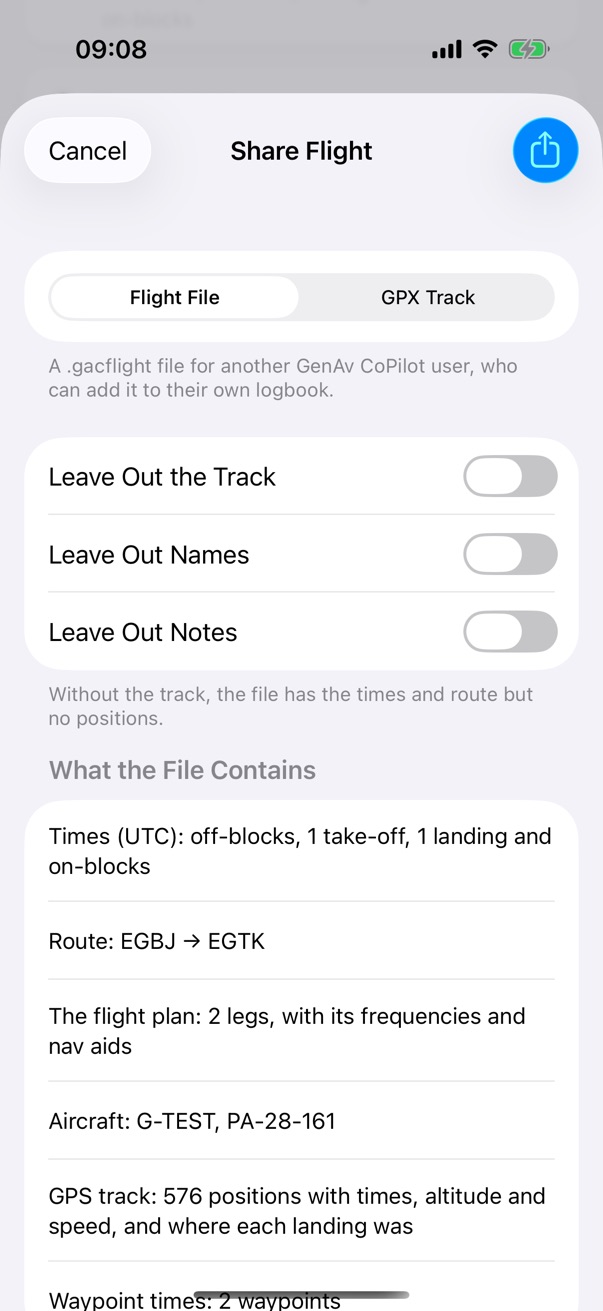
- You choose what goes
Credits
Data sources
- Airports
- OurAirports (ourairports.com), released to the public domain. A snapshot of the UK and Crown Dependencies in full and major airports worldwide, with runways and frequencies, is built into the app. Not for navigation. Check the AIP. Thanks to OurAirports and its contributors.
- Magnetic variation
- World Magnetic Model WMM2025, from NOAA NCEI and the British Geological Survey, valid to the end of 2029. It fills in each leg's variation, which you can change.
- Maps
- Apple Maps.